See the whole picture.
Have you ever wondered if you are getting the whole picture when you walk your fields? Some fields are easy to survey for damage or trouble spots with a good pair of boots and an hour or two of walking. Other fields aren’t so easy to visualize, and present unique challenges in visualizing both the potential and the problems of your field.
Why not get the whole picture with aerial imagery from Wrongbird?
Map your field.
Our automated and GPS guided drone will create accurate and up-to-date aerial maps of the fields you are working. Scout new fields for trouble spots and drainage issues before your first season. Spot planting issues early, and get the whole picture of your fields without hours of walking.
Analyze the data
Your time is valuable, and as you know, your time is also limited. There is only so much time to scout each field before you leave to meet the family for dinner, and before you know it, the sun goes down on another day. Our drone based solution effectively stops time, allowing you to analyze your fields during the off hours after the sun has gone down. You don’t have to miss another family barbeque to work.
Correct and Verify
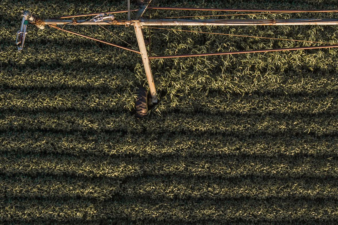
Mid-season maps are great for course corrections. Observe fertilization issues and take steps to correct them. Find areas of over-watering and turn off the hose. You can even identify pest problems that may be difficult or impossible to see from the ground. Instead of walking a small portion of your field, see the whole thing at once.
Insurance
As much as we plan and prepare for success, sometimes the rain doesn’t come, or a storm comes and damages or destroys your hard work. Having current aerial images of your fields before and after disaster makes it easier for you to make your case to the insurance company. While you don’t plan on failure, it’s nice to have a plan when things don’t quite work out.
Orthomosaic
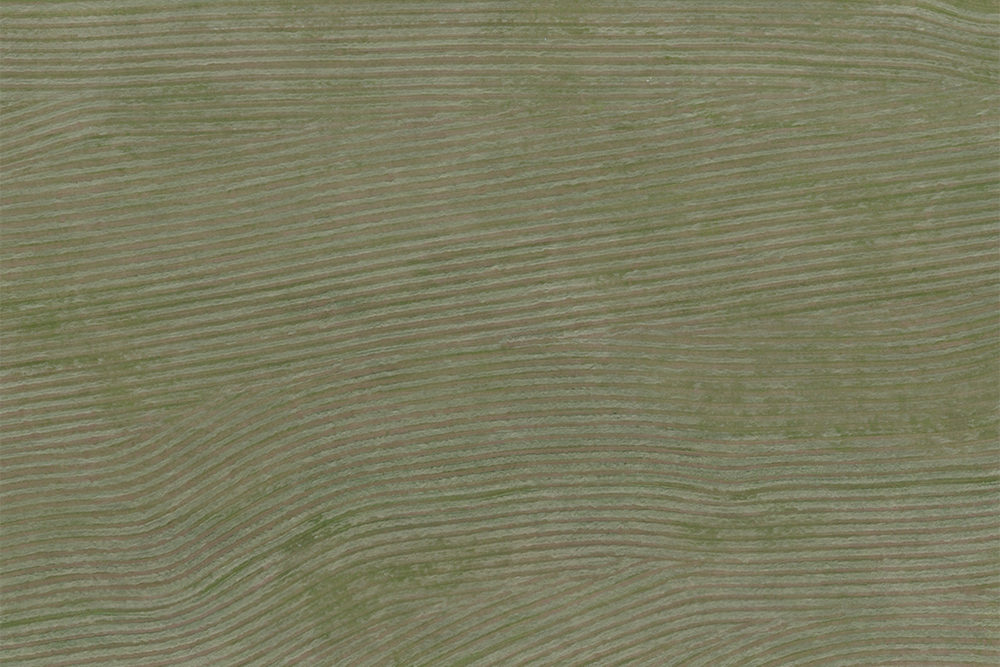
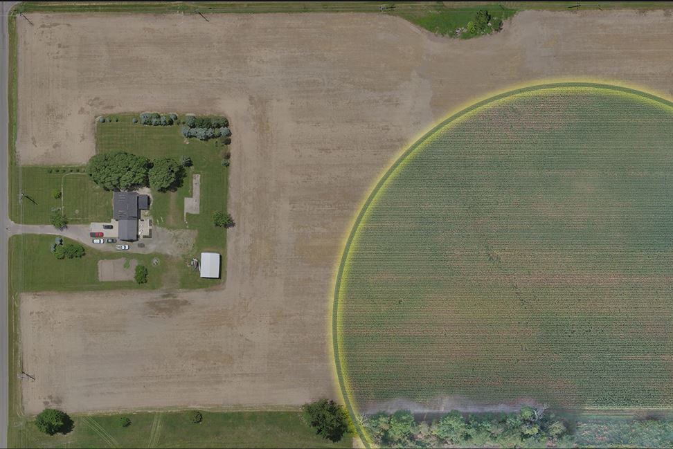
Imagine a 100+ megapixel camera flying 200′ above your field. That is what an Orthomosaic Map is. Hundreds of images are stitched together to create a high resolution image of your field, when you need it. It’s like Google Maps on steroids.

Topographical
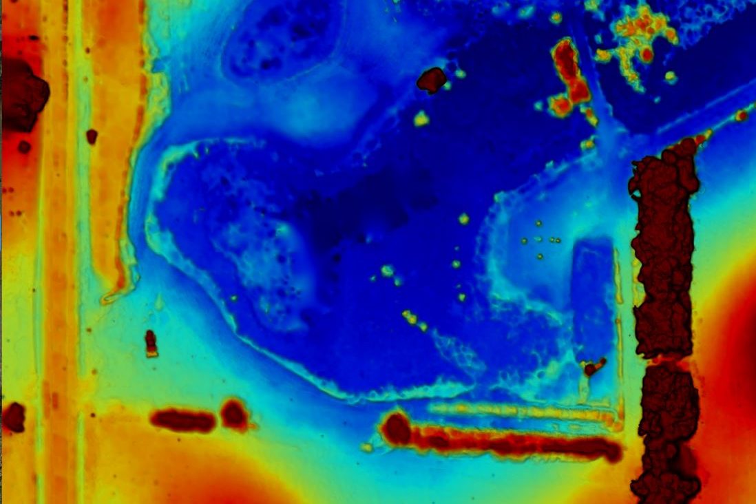
See drainage issues and take steps to correct them during the off season. Watch for potential flood hazards, and evaluate areas for shade and sunlight.

Travel through time
Create your own archive of your field conditions over time. Look back through the years to see what did well, where your issues where, and form a plan for the future. As the years pass, you’ll develop a more clear picture of the strengths and weaknesses of your property.

Inspect Facilities and Infrastructure
From fencing and roofs to silos and barns time takes its toll on all things. Check up on your facilities and infrastructure in a safe and non-invasive way. No more climbing ladders or dangling from ledges to find out if you need to fix something.
